.Maps
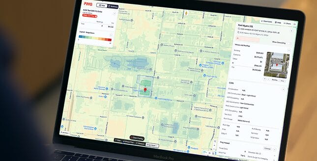
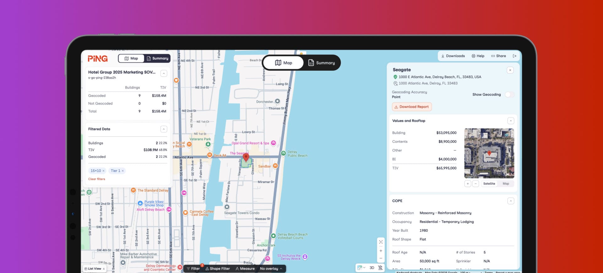
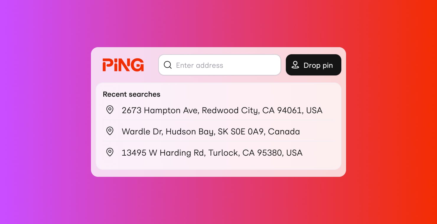
Bring Ping.Extraction insurance data to life with powerful mapping and rich visualizations. Understand your geospatial risk, see the effect of ambiguous geocoding, filter primary parameters, and create market-ready presentations.
Our tools enable insurers and brokers to work faster, smarter, and with confidence. Data flows freely, decisions are precise, and the industry rises together.
Bring Ping.Extraction insurance data to life with powerful mapping and rich visualizations. Understand your geospatial risk, see the effect of ambiguous geocoding, filter primary parameters, and create market-ready presentations.

Extract and enrich critical data from existing documents, including SOVs, ACORDs, Loss Runs, and email bodies. Much more than “just” AI extraction, Ping solves the problem of reading, geocoding, enhancing, validating, and, ultimately, weaponizing submission data artifacts.

A full-service data-extraction solution for the property insurance marketplace. A modern, built-for-purpose ML system with tightly integrated, well-trained human support creates a robust, consistent foundation to build your company’s processes and data products on.
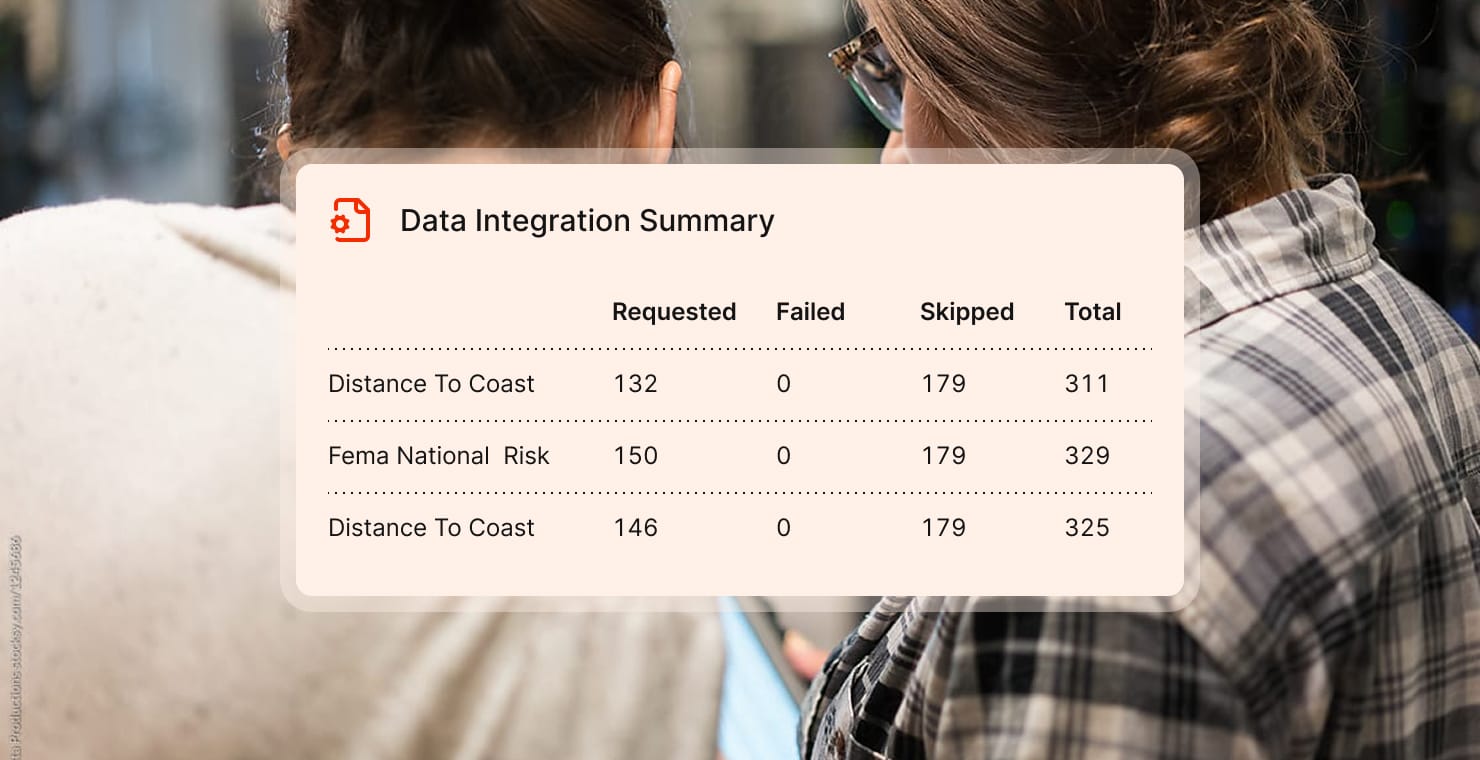
Delve into the incredible array of property-relevant data sources across the web, and deliver it straight to your underwriting process. Ping.Data provides a fast, easy-to-integrate, consistent, and reliable way to access all kinds of location data, from geocoding to tax-record data to satellite imagery and building valuation.
Rapidly model Ping.Extracted submissions via industry-favored CAT tools. With Ping.CAT, you can specify flexible policy terms, generate acc/loc CSV import files or directly trigger cloud-based modeling, and retrieve both raw and formatted results, as fast as the modeling can run and without human intervention.
Perform single building lookups into physical aspects of your property to provide a true picture of location and building risk.
Ping products are designed to be reliable, modular, and frictionless. See some our most frequently asked questions.